Big Sur
While working on the Central Coast of California, one of the places most often recommended to me was Big Sur—and it absolutely lived up to the hype. Due to landslides and road closures, we had to explore Big Sur in two separate trips: one from the South End, and one from the North. Normally, when Highway 1 is fully open, you can drive straight up the coast and see it all in one breathtaking ride. As of February 2026, the road is open to drive all the way through. Yay!
When my family came to visit, we rented a big van and made the drive up the coast together. Below is everything we learned, what we saw, and the tips to make your own Big Sur adventure unforgettable.
Important Tip Before You Go
Always check road conditions and weather.
Big Sur is famous for its landslides. Before we went my co-worker warned me of the potholes at Big Sur. These sections involve not just “potholes” but entire chunks of roadway and cliffside sliding into the ocean. In 2025, at the time of our trip, the furthest point accessible from the north was Regent’s Slide, and from the south, the road closure was near Lucia Lodge. Although it is now open, If you want to split it up into 2 days, you can follow the same itinerary that we did. If you are feeling ambitious you could also attempt it in one day.
Highway 1- connects seamlessly from San Simeon all the way to Carmel—about 90 miles of continuous oceanfront driving. If landslides are current, the route may require detours inland.
Top Sights in Big Sur
Coming From the South (San Simeon → North)
- Hearst Castle (San Simeon)- Not technically a part of Big Sur,but a cool historic stop.
- Elephant Seal Vista Point- Also Not technically a part of Big Sur, but a cool stop.
- Ragged Point Inn & Restaurant- Hike to secluded Black sand beach
- Sand Dollar Beach / Plaskett Creek- Prurple sand and popular camping area.
- Limekiln State Park -This was the furthest we could go at the time due to the Regent’s landslide. Good ending point if splitting the trip into 2 days or only doing this half of the park).-Campground and hike to waterfall, limeekilns. as of 01/2026 closed. (see more below)
- Julia Pfeiffer Burns State Park / McWay Falls
- Nepenthe Restaurant
- Pfeiffer Beach
- Pfeiffer Big Sur State Park
- Point Sur State Historic Park (Lighthouse)
- Bixby Bridge
- Garrapata State Park
- Soberanes lookout
- Andrew Molera State Park
- Point Lobos State Natural Reserve
- 17-Mile Drive
- Carmel-by-the-Sea
- Monterey
Coming From the North (Monterey → South)
- Monterey – coastal city, aquarium, food, shops- (not technically Big Sur)
- Carmel-by-the-Sea – storybook village filled with boutiques-(not technically Big Sur)
- 17-Mile Drive – famous scenic drive-(not technically Big Sur)
- Point Lobos State Natural Reserve-Crown Jewel of the California State Park System,
- Andrew Molera State Park-hikes and scenery
- Soberanes Lookout- Stunning views, steps down to rocks near ocean
- Garrapata State Park-Once again here for the view and hikes.
- Bixby Bridge-iconic view
- Point Sur State Historic Park (Lighthouse)– tour
- Pfeiffer Big Sur State Park- Redwoods, camping, trails, river floating
- Pfeiffer Beach- Keyhole arch
- Nepenthe Restaurant- Ambrosia Burger
- Julia Pfeiffer Burns State Park / McWay Falls-(this was the furthest we could go at the time due to the Regent’s landslide. Good ending point if splitting the trip into 2 days or only doing this half of the park).
- Limekiln State Park
- Sand Dollar Beach / Plaskett Creek
- Ragged Point Inn & Restaurant
- Elephant Seal Vista Point
- Hearst Castle (San Simeon)
Depending on where your trip begins, one side may be easier to access than the other. For example, to reach the northern entrance during closures, we had to drive inland, up and around, coming from the Pismo Beach area. The drive was very scenic but required an extra couple of hours driving and planning, compared to when the Highway is open all the way through.
Tips for Visiting Big Sur
- Check weather and road conditions — landslides and closures are common.
- Expect little to no service — download offline maps before you go.
- Bring cash — some parking lots and state parks only accept cash.
- Stop at roadside pull-offs — the best views often aren’t on any map.
- Dog-friendly overall — but some trails, beaches, and most state parks do not allow dogs.
- Bring water and snacks — restaurants and stores are sparse.
- Gas is limited and expensive — fill up before entering Big Sur.
- Know the difference:
- Pfeiffer Big Sur State Park (redwoods, river, hiking)
- Julia Pfeiffer Burns State Park (McWay Falls)
- Pfeiffer Big Sur State Park (redwoods, river, hiking)
- As of 2025:
- Road closed after Limekiln State Park when coming from the north.
- First stop northbound from McWay Falls is limited due to repairs.
- Road closed after Limekiln State Park when coming from the north.
- As of 2026:- Highway 1 is open all the way through.
Gas Stations (South → North)
- Ragged Point Inn Gas Station – first reliable stop from the south
- Gorda by the Sea Mini Mart (Amerigo Station) – very expensive gas
- Near Pfeiffer Beach area: Valero, Shell, and Chevron stations
Fun Facts About Big Sur
- Jack Johnson and The Beach Boys both have songs titled “Big Sur.”
- Big Sur spans roughly 90 miles from San Simeon to Carmel.
- Highway 1 through Big Sur is also known as:
California State Route 1, Cabrillo Highway, or Pacific Coast Highway.
Our North Half Adventure: Monterey to Julia Pfeiffer Burns Beach
For our first Big Sur trip, we explored from north to south. At the time, there was a closure halfway through the park. Coming from Arroyo Grande, we drove inland and up to Monterey and Carmel, spent time exploring those coastal towns, and then began our drive south into the cliffs of Big Sur.
Monterey & Carmel
These neighboring towns make an incredible starting point:
- Monterey – home to the world-famous Monterey Bay Aquarium.
- Carmel-by-the-Sea – fairy-tale cottages, art galleries, ocean views
-17- Mile Drive – A scenic roadway that winds through the rugged coast of Monterey area. Several iconic stops include the most photographed tree in the world, The Lone Cypress, Spanish Bay, and Bird Rock. Does cost $12 but can be reimbursed with a purchased $35 or more at Pebble Beach Resorts.
I have separate blog posts on both of these towns which you can check out as well.
Point Lobos State Natural Reserve
Often called the “Crown Jewel of the California State Park System,” which is saying something considering there are 200+ state parks.
- Not dog-friendly
- Small entrance fee
- Parking fills by 9 AM in spring/summer
Popular Trails
- Bird Island Trail — short, easy, and leads to emerald waters at China Cove
- Cypress Grove Trail — walk through rare Monterey cypress trees with dramatic coastal views
Andrew Molera State Park
Scenic Viewpoints Along the DriveAndrew Molera State Park
- Dog Policy: Not dog-friendly
- Parking: $10 in the lot, or free along the roadside
- Hike: 8-mile loop including Creamery Meadow, Panorama Ridge, and Bluff Trail
- Trail Features:
- Crosses a cold river
- Steep and winding sections
- Bluff portions offer stunning ocean views
- Sections over logs and through mountain vistas
- Redwood forest at the top
- Crosses a cold river
Tip: If you’re primarily interested in ocean views, take the Bluff Trail and loop back—it’s shorter but still offers dramatic coastal scenery.
Scenic Viewpoints Along the Drive
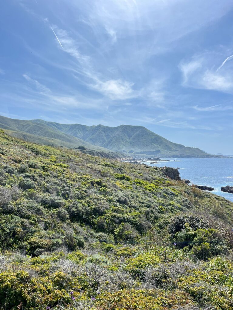
The entire drive feels like the destination itself. We pulled over constantly to take photos and enjoy cliffside views.
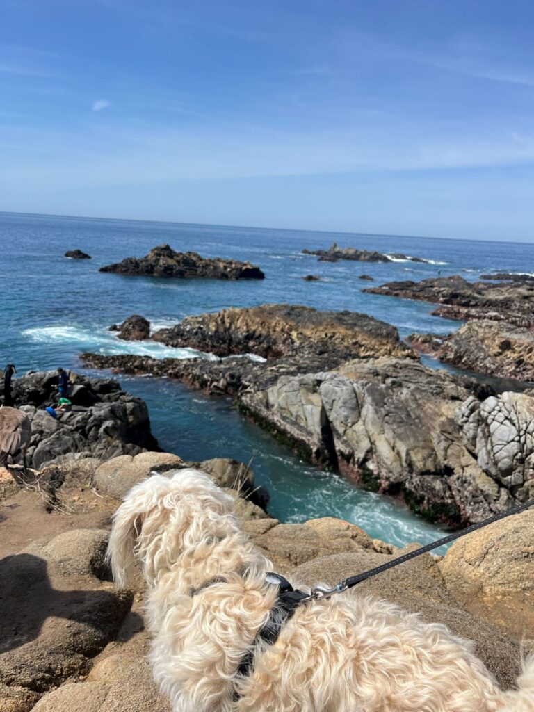
Soberanes Lookout
- Lookout is Dog Friendly– (Across the road, Sobranes Trail is not dog friendly)
- Parking: There’s a roadside pullout
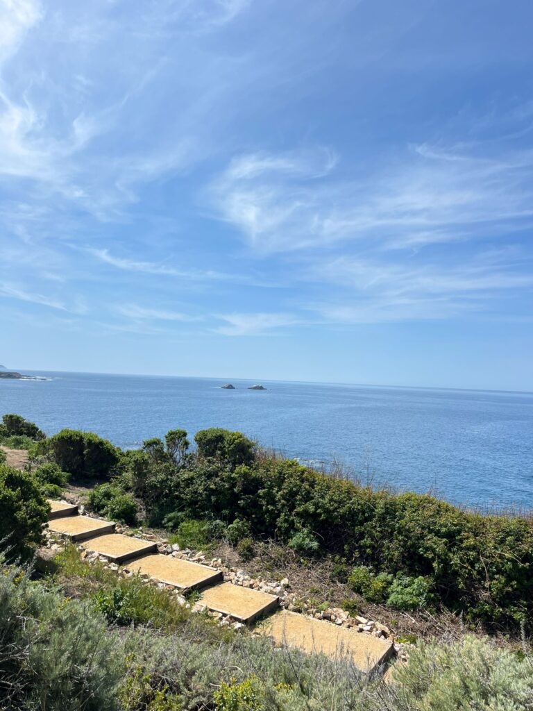
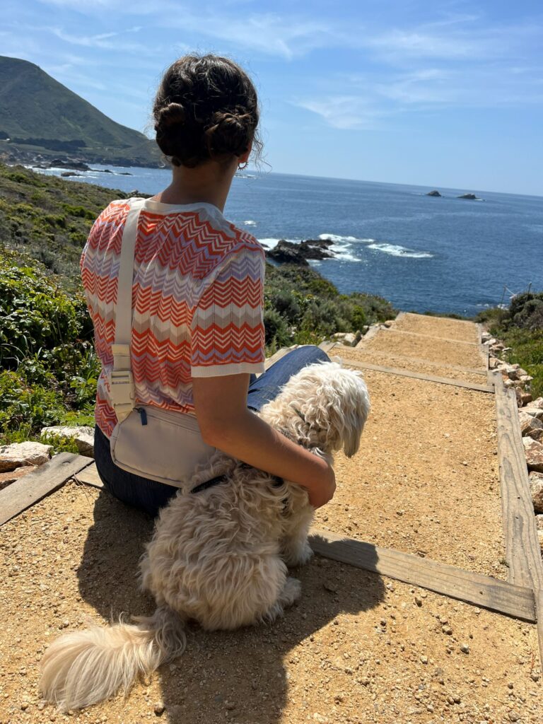
- Hike: Short set of stairs (around ~100 steps) to a rocky coastal lookout. The view from the top is great too.
- It’s one of the first iconic stops when driving south into Big Sur from Carmel, It is just north of the Garrapata Bluff Trail area on Hwy 1.
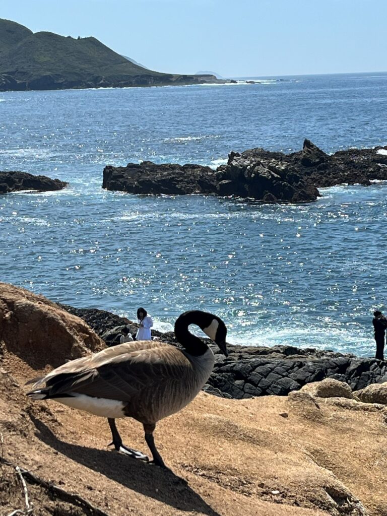
We hiked down with our dog and enjoyed the stunning views. We even hung out with a very chill bird roaming around all the bottom of the stairs.
Soberanes Trail
-Across the road is the Soberanes Trail—beautiful and leading into a forested hillside.
This trail is not dog-friendly. unlike the lookout which is dog-friendly.
Garrapata State Park
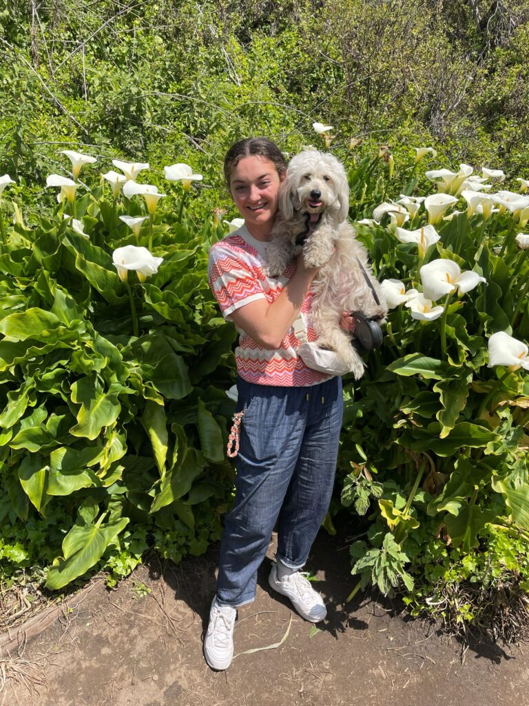
Most trails here aren’t dog-friendly, but we did the Bluff Trail, which is.
Highlights:
- Coastal vistas through lush green brush
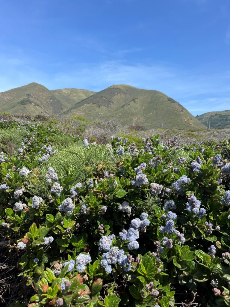
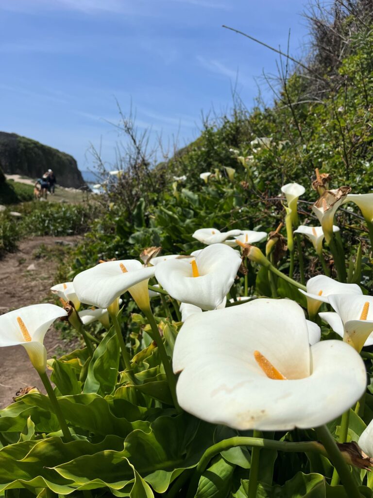
- A descent into Calla Lily Valley, which was in full bloom
- Access to a wide beach where dogs and families were playing.
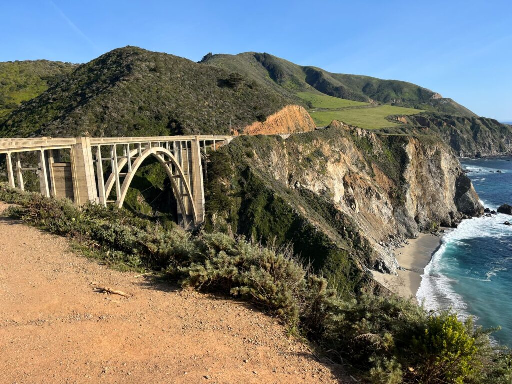
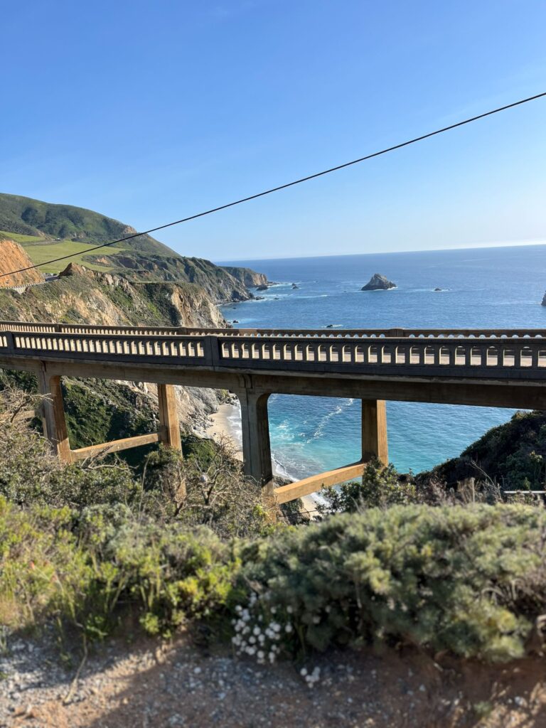
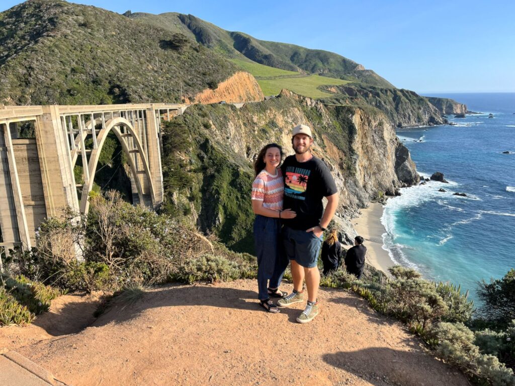
Bixby Bridge
One of the most iconic and photographed spots on the California coast.
Built in 1932, workers first constructed the wooden framework and then carried sacks of cement up the cliffs by hand. The bridge’s arch design allows landslides to slide beneath it rather than destroy it.
Point Sur Lighthouse
Sits atop a volcanic rock formation above the sea. Tours are available and include:
- A moderate number of stairs
- About 3 hours of walking
- Beautiful views of the coastline
Tour info: https://www.parks.ca.gov/?page_id=565
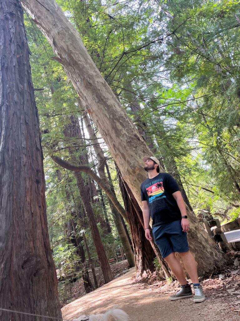
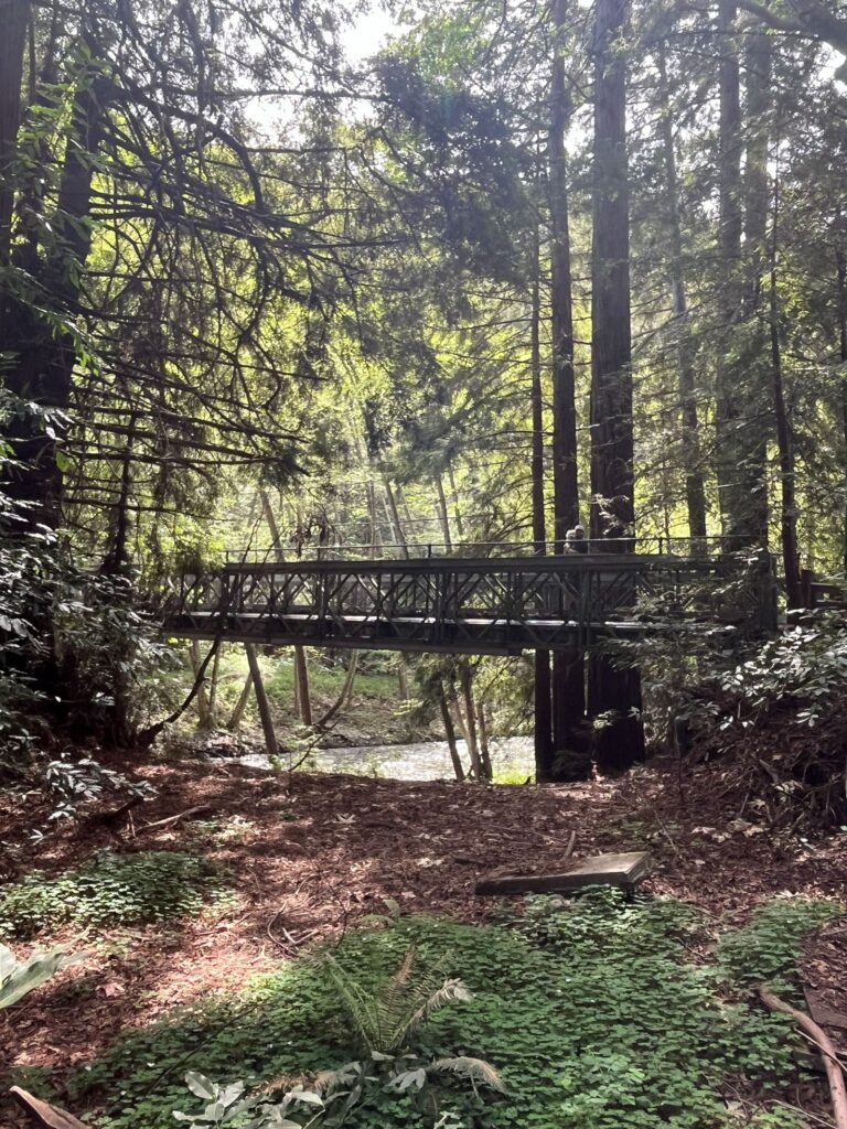
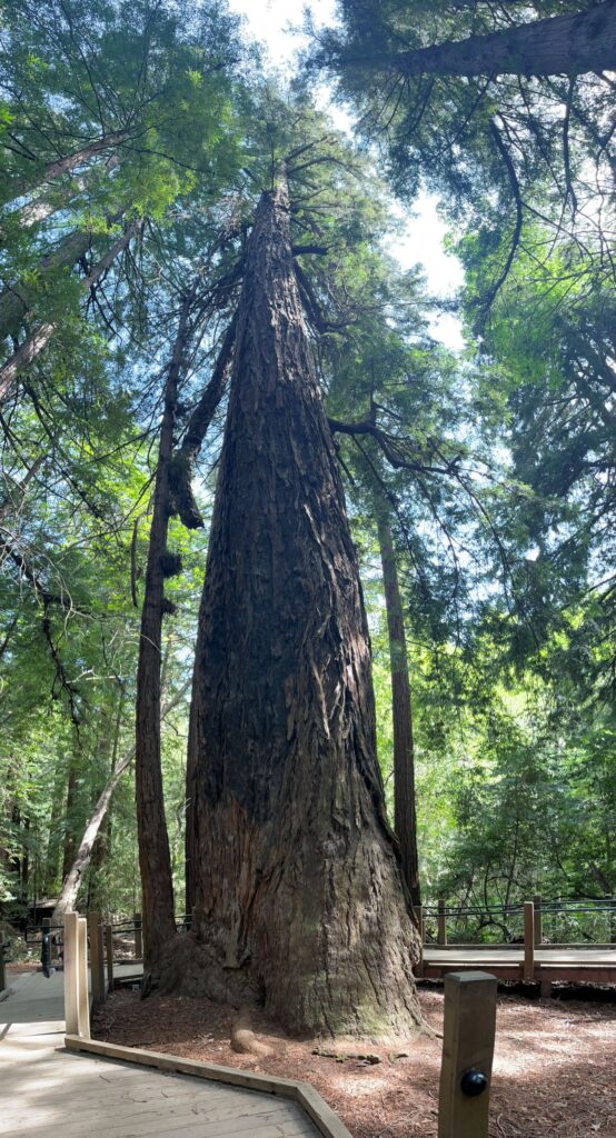
Pfeiffer Big Sur State Park
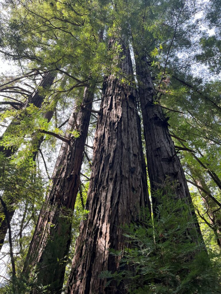
A redwood-filled park offering:
- Campgrounds- fun place to stay if you want to camp in the Park.
- River access (we saw families tubing!)
- Dog-friendly trails:- Ask the ranger for a map when you enter.
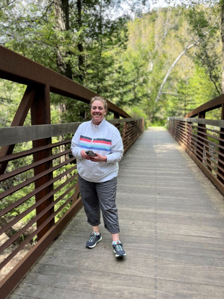
- Warden’s/River Path Loop. –takes you through redwood trees.-only dog-friendly trails
Pfeiffer Beach
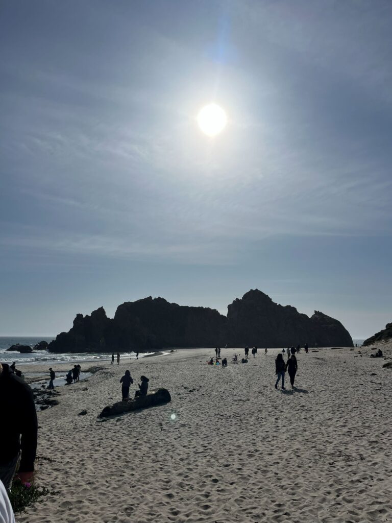
A narrow, hidden road leads down to this famous beach known for:
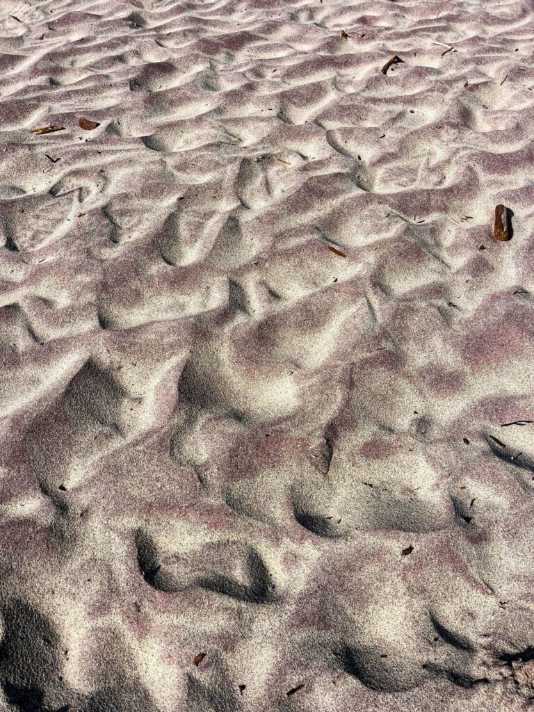
- Purple sand
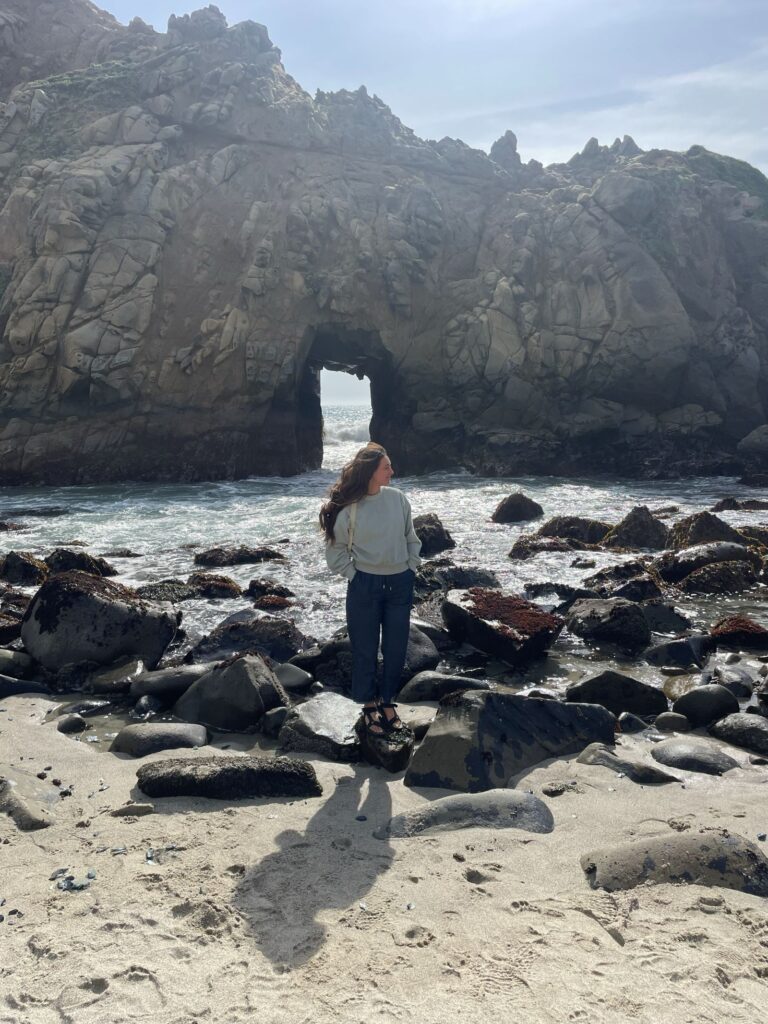
- The iconic Keyhole Arch, especially stunning at sunset
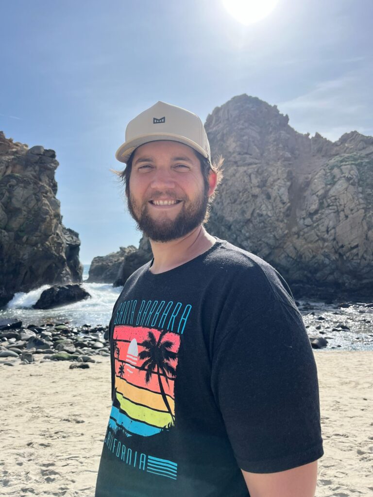
- We had fun climbing the rocks and taking in the dramatic surf.
- Dog-friendly shoreline
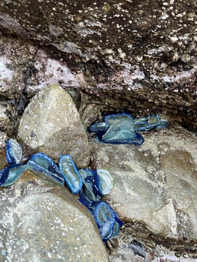
We also saw lots of Blue jellyfish washed up, which is common along the Central Coast. Don’t worry, they are harmless.
Nepenthe Resturaunt
A legendary restaurant in Big Sur with:
- Incredible cliffside views
- A dreamy patio and fireside seating
- Their famous Ambrosia Burger
- No reservations — it fills up fast
Julia Pfeiffer Burns State Park & McWay Falls
Home to one of the most photographed views in California.
- McWay Falls cascades onto a secluded beach
- Beach access is not allowed-It would be quite the hike to get down there anyways.
- $10 parking fee (cash only) grants access to all state parks for the day
- You can also park on the shoulder for free and walk in
- Dogs not allowed anywhere in this state park
The viewpoint trail is an easy 0.5-mile walk with little incline.
🌿 Exploring the South End of Big Sur
We split Big Sur into 2 trips. The Southern half of the trip, we started at Ragged Point and traveled up to Sand Dollar Beach. The actual drive takes about 40 minutes, but we took half a day, stopping at views and hiking. We did bring our dog with us as there are some dog-friendly stops.
We will continue the stops coming from the North end, coming from McWay Falls- Next stop…
Limekiln State Park
A coastal park known for its mix of beach access, redwood groves, and historic Limekilns.
Limekilns are tall stone oven type structures that were used to heat up limestone to extract the lime.
What to Know
- Camping: Currently closed (expected to reopen Spring 2026)
- Day Use Only (as of 2025–2026)
- Entrance Fee: $10 per vehicle
- Not Dog Friendly– allowed at some campgrounds but not on trails.
Open Trails
- Limekiln Trail → Pitkins Curve Trail (Oceanview Overlook)
- Currently the only open trail
- Offers scenic views of the coastline
Closed Trails (as of early 2026)
- Limekiln Falls Trail
- Hare Creek Trail
These normally lead to a waterfall and creek crossings, but remain closed due to ongoing conditions.
Sand Dollar Beach & Plaskett Creek
The largest sandy beach in Big Sur, perfect for relaxing and exploring.
Highlights
- Great for surfing, picnicking, and long beach walks
- Sand dollars can sometimes be found at low tide
- ⚠️ Purple sand dollars are alive—avoid disturbing them
Jade Cove (Nearby)
A popular (but sometimes restricted) spot for jade hunting.
- Best time to go: Low tide
- Walk north along the beach to search for jade stones
- ⚠️ Access can vary due to:
- Safety concerns (unstable cliffs and caves)
- Poison oak
- Some hikers report access via a steep trail, but conditions change—use caution and check current guidance.
Tip: Stop whenever you see a turnout—this section is prime scenery
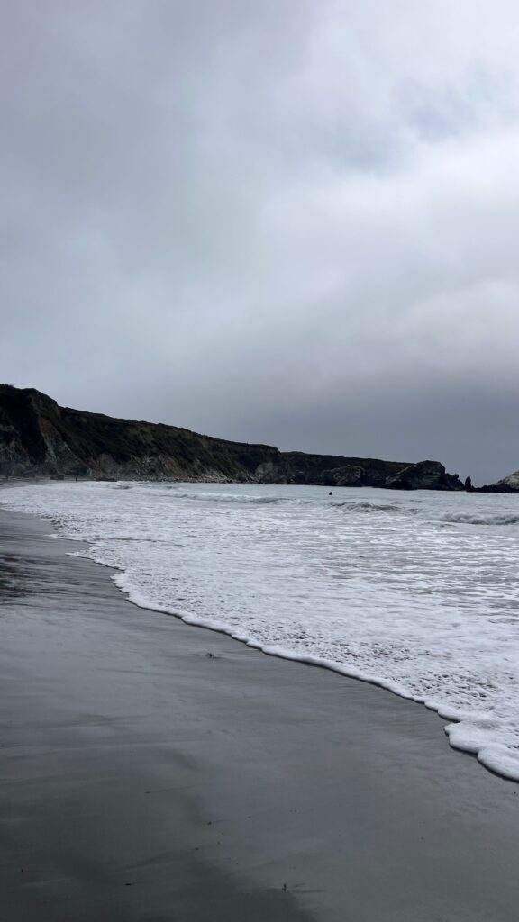
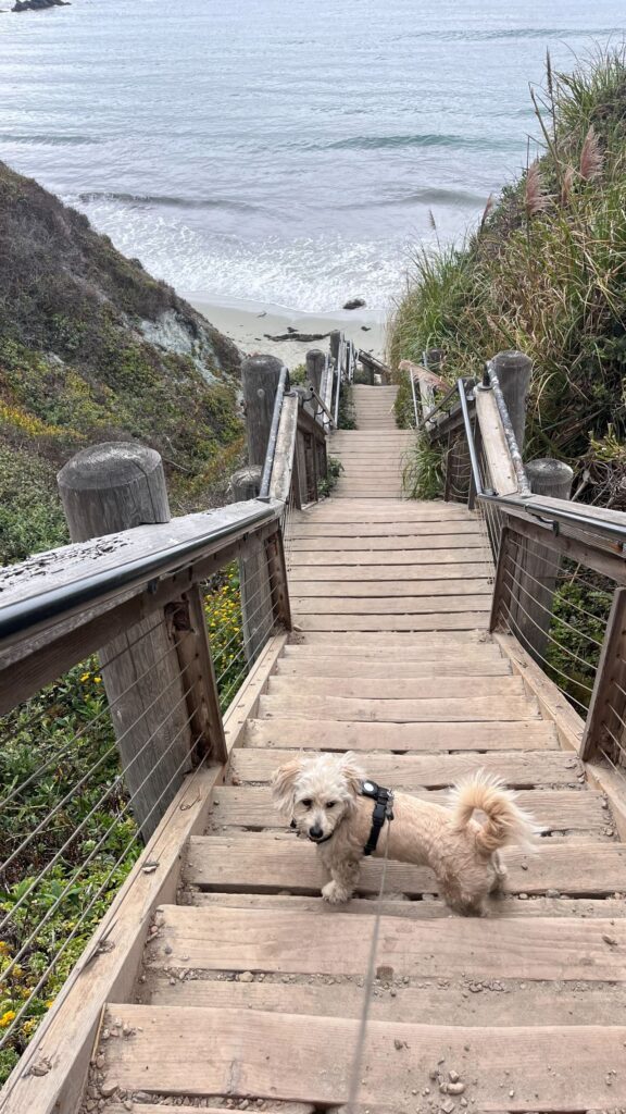
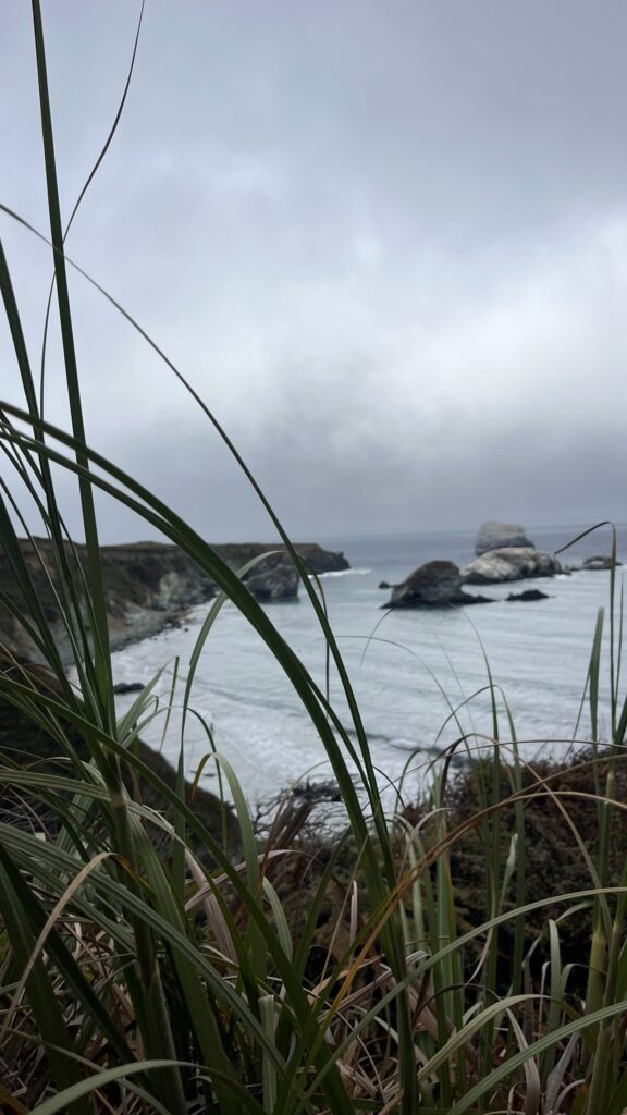
Gamboa Point (hidden gem viewpoint)
One of the many beautiful outlooks.
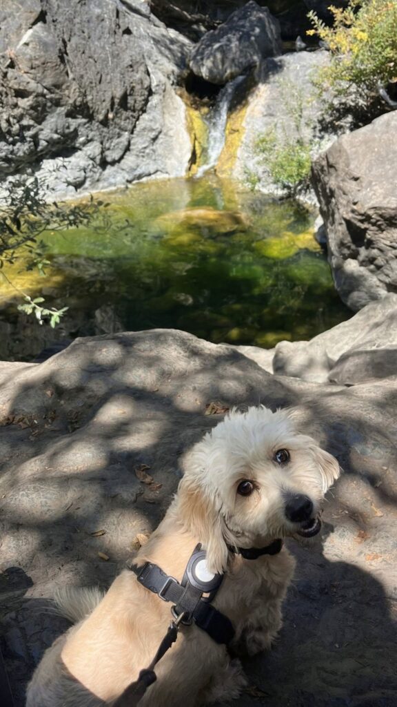
Salmon Creek Falls (roadside stop)
- Super short walk to a ~120 ft waterfall right off the highway
- One of the easiest waterfall stops in Big Sur
- Best flow in spring
- Dog-friendly: yes!
- Parking is along the side of the road, There are 2 entrances to the path along the road, very near each other. Just follow the sounds of laughter and splashing.
- Waterfall feeds into a small body of water and many people were swimming. BRING YOUR SIMSUITS!
San Carpoforo Creek Beach
- First beach just north of Ragged Point, at the end of a short hike
- Less-visited, less crowded beach
- Ratings for good surf- but waves can be unpredictable and for more experienced surfers.
Ragged Point Inn & Restaurant
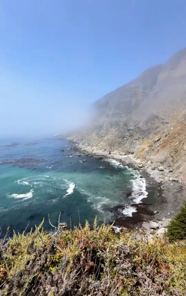
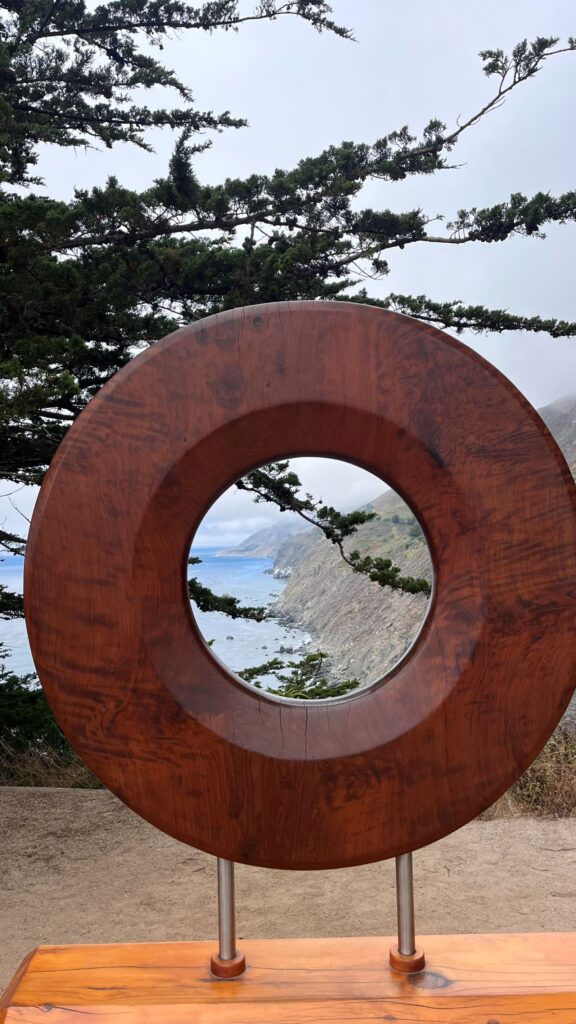
Often called the “Gateway to Big Sur,” Ragged Point is a must-stop for views, food, and even a special occasion.
Our Experience
We visited for our wedding anniversary, and it was unforgettable. As we arrived, we were welcomed by:
- Live music
- The smell of an outdoor BBQ grill-
- Sweeping ocean views
We ordered the BBQ meal, which was huge—perfect for sharing—and absolutely delicious.
Why Visit
- On-site lodging available
- Ideal for romantic getaways, weddings, or family trips
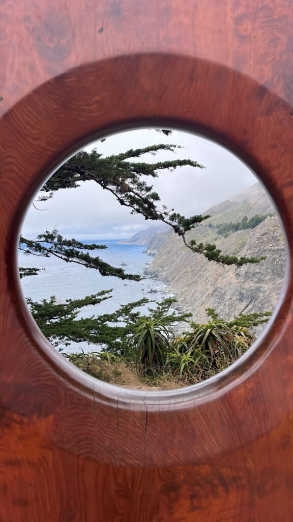
- Stunning views of rugged cliffs and the coastline
Hidden Beach Hike–
For more information about the Ragged Point Beach hike check out this Blog post.
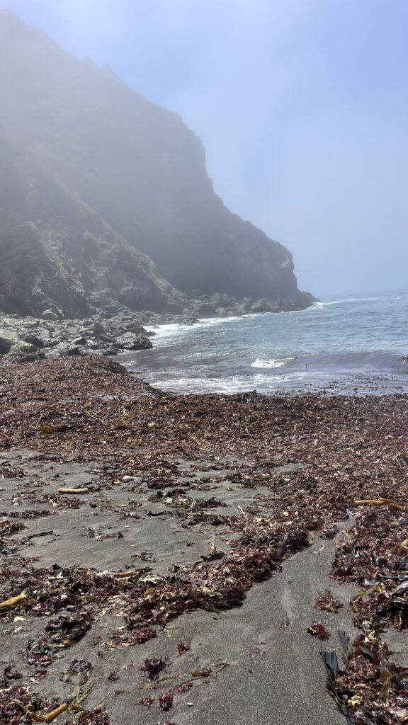
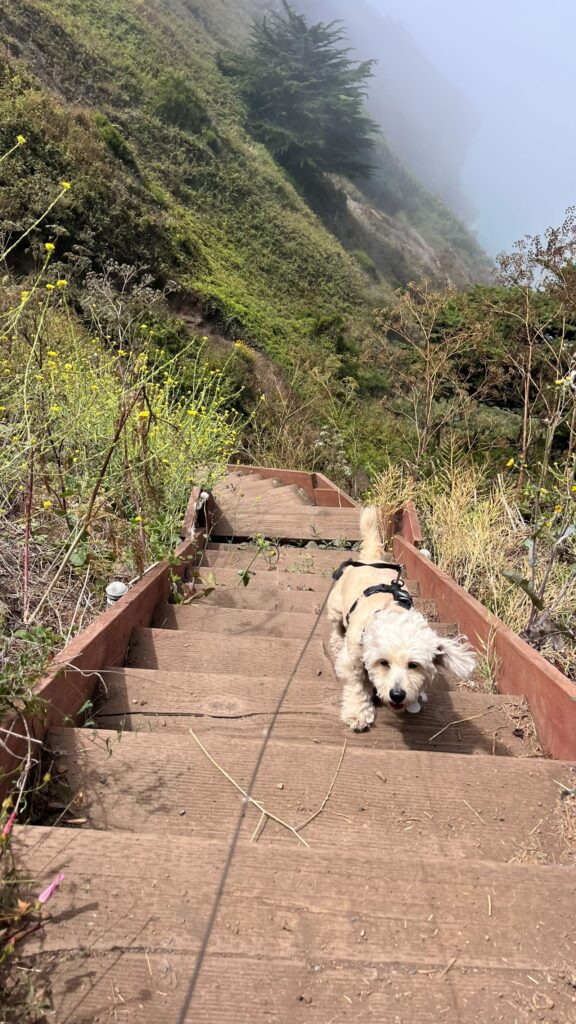
There’s a steep trail leading down to a secluded black sand beach:
- Can be muddy after rain
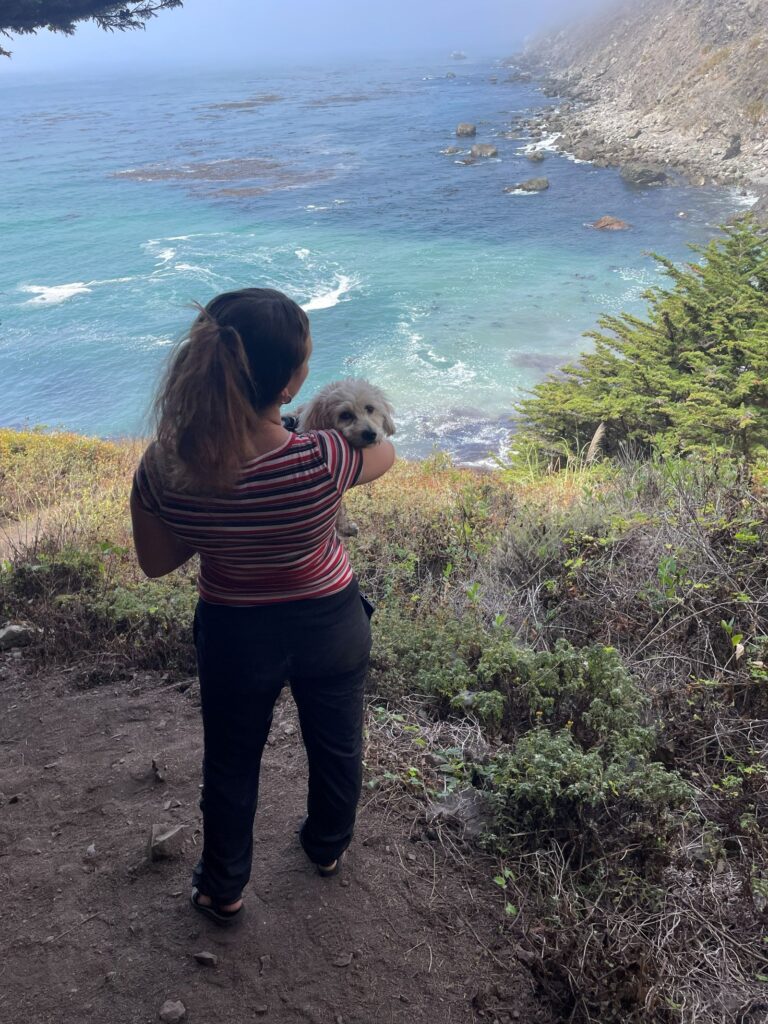
- Not ideal for small dogs (we had to carry our little Lady part of the way)
- Reward:
- Unique black sand beach
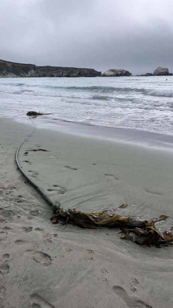
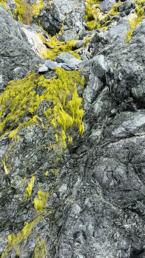
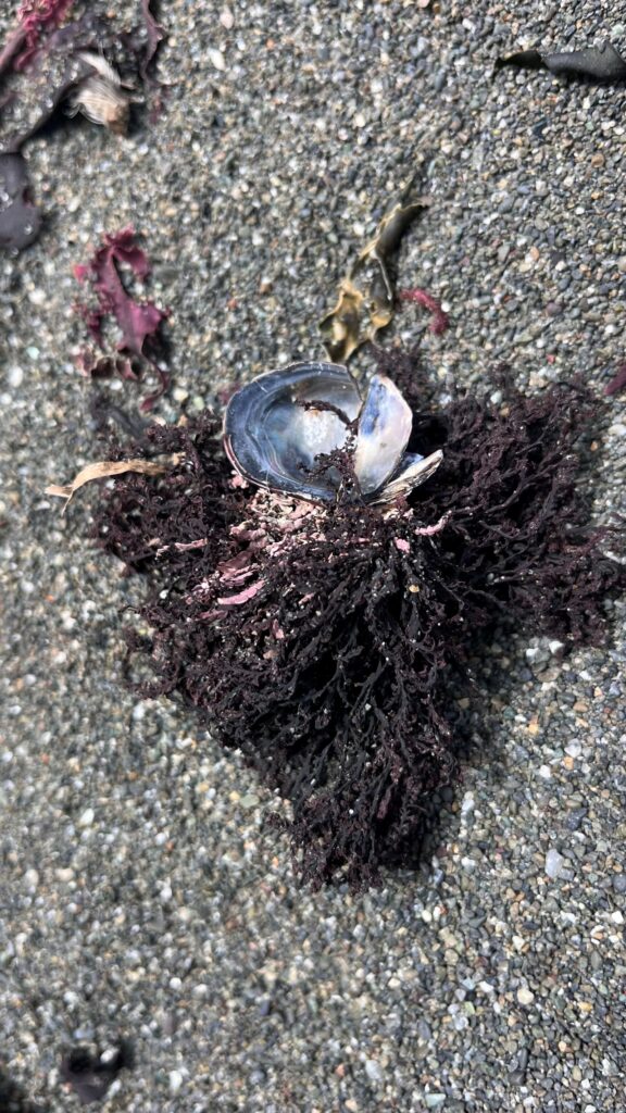
- Purple and green seaweed
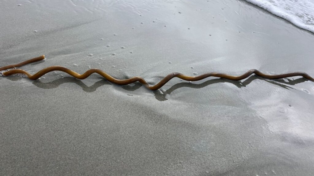
- Massive kelp formations
After the hike, relaxing with food and live music made the experience even better.
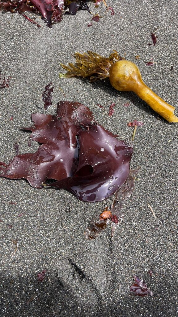
Ragged Point is the first big stop in Big Sur. There are some towns and interesting stops nearby that many add on to their adventure through big Sur. You could also stay in these towns if starting from the Southern end.
Interesting stops near south end of Big Sur
- Cambria – Make sure to stop at Moonstone beach Boardwalk
- Elephant seal Vista Point– Located down the street from Hearst Castle. Visit the gathering point of Massive Elephant seals and watch as they not so gracefully scooch around and sunbathe on the sand.
- Hearst Castle-of California’s most famous landmarks, Hearst Castle is a historic estate perched above the coastline. Check out my blog post for more details.
Choosing where to Stay
Big Sur gives you options of what kind of lodging experience you would like to have. They have some really cool glamping and yurt options.
Luxurious Stays: Resorts perched on cliffs with ocean views.
- Post Ranch Inn: A Michelin Experience
- Alila Ventana Big Sur: offers high end glamping
Boutique Lodges:
- Glen Oaks Big Sur: Wake up amongst Redwoods along the Big sur river
- Deetjen’s Big Sur Inn: Old school, no tv’s.
Camping/Glamping:
- Treebones: Very cool Yurt with views.
- Pfeiffer Big Sur State Park Camping: In the redwoods, near the river, full amenities available.
- Kirk Creek Campground: Unobstructed Ocean view camping, no showers, vault toilets.
- Plaskett Creek Campground: Easier to book than Pfeiffer, Less crowded, close to Sand Dollar Beach.
- Limekiln Campgrounds: Just opene back up, as of April 1st, 2026
Cities Nearby Big Sur:
From the North
- San Jose
- Carmel by the Sea
- Monteray
From the South
- Arroyo Grande
- San Luis Obispo
- Cambria
TIP: Book ahead of time, spots fill up FAST if looking to stay in the Park! Camping spots fill up 6 months in advance.
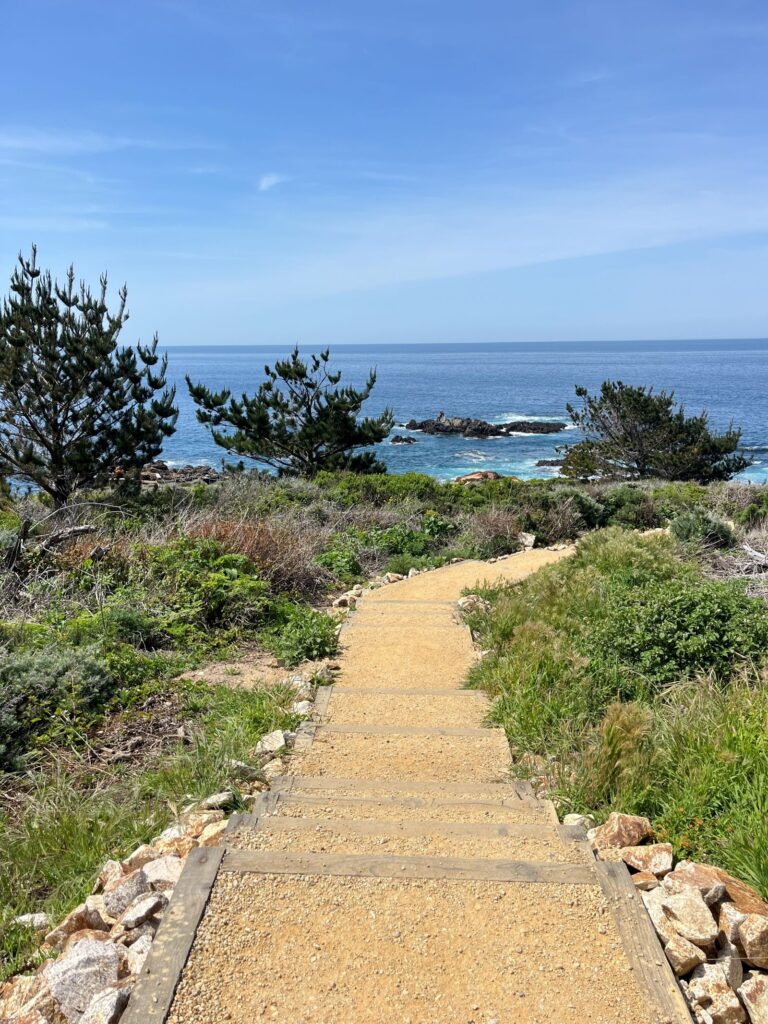
Come Explore, Big Sur Awaits…
Big Sur is a magical place with Stunning views. The whole place is The Destination. Pick a spot, almost any spot, and it will be a jaw-dropping view. The area has plenty of hikes and offers family- and dog-friendly spots. Hopefully, you found some spots that piqued your interest. Have Fun Exploring! If you are interested in other stops in a road trip along the Central Coast, check out The Ultimate Road Trip of the Central Coast.